Unearthing the right to the city through digital visual methods
How can digital visual methods be critically deployed to examine urban social in/justices? In this essay, we draw on the right to the city paradigm to create a methodology where students use digital tools – namely Google Earth, Google Street View, and ArcGIS story maps/KnightLab – to visualize and represent un/just urban landscapes in Philadelphia, United States. These representations highlight the material and discursive spectrum of group visibility and their associated built environment to suggest the tension between systemic marginalization and efforts to reclaim city space. They also provide advantageous entry points to examine the implications of the visual for envisioning just cities through pedagogical exercises.
We build on the right to the city paradigm, which involves the right to live and shape the city in one’s own terms. It entails a form of appropriation that foregrounds everyday use over real-estate-based financial valuations to promote the rights of citizens to physically access, occupy and use the city in ways that meet their collective needs, values and aspirations for the future (Harvey 2008). The suppression of such rights materializes in the persistent exclusion of certain individuals and groups along multiple and intersecting axes of inequality (for example, according to their race, ethnicity, class, gender and/or age), from official development policies (see, for example, Alves 2014; Doshi 2019; Ramírez 2020).
Philadelphia’s urban landscape (like so many others across the global North and South) has long been shaped along socioeconomic and racial divides that become manifest in the uneven distribution of resources and a lack of recognition of poor Black and brown citizens whose labor helps to create and sustain urban life. The city’s uneven development has also been marked and deepened by deindustrialization processes and associated cycles of disinvestment and gentrification of previously working-class neighborhoods (Balzarini and Shlay 2016). At the same time, and in response to these perverse dynamics, the city emerges as a stage for community action to reclaim both urban imaginaries and physical space (e.g., see Wherry 2011), as seen through community gardens and artwork.
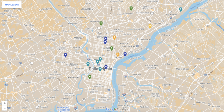
Drawing on the right to the city paradigm as a conceptual entry point and Philadelphia as our study site, we developed a semester-long project where students use digital tools to critically visualize how injustice materializes and is countered in the city’s urban fabric. The project was part of a course on “Social Justice and the City” conducted at Dartmouth College in 2020 by Parikh. The methodology was designed to adapt to constraints posed by the COVID-19 pandemic, where field visits typically conducted during urban geography courses were rendered impossible. Instead, students ‘entered’ the city of Philadelphia using Google Earth and Google Street View and documented a particular site within the city based on their research concerns. After a preliminary image analysis, they drew on other data sources to extend and substantiate their results and narrate visual stories of in/justice using ArcGIS story maps/KnightLab.
Central to this methodological approach is exploration and discovery. At the beginning of the semester, students choose an (urban) object to focus on (e.g., a park bench, a billboard or a community garden). Students then embark on a ‘treasure hunt,’ canvassing different streets and neighborhoods to document the physical manifestation(s) of their selected objects. The next step is to analyze the visual properties of their objects against demographic data and existing literature focusing on the themes and sites within which their objects are situated, among other data sources, to understand how their materialities are linked to historical and new exclusions as well as community negotiation and resistance in a continuously evolving landscape.
For students, this can be a transformational experience as they confront their own assumptions about what types of space have value and what that valuation means for their permanence status. Student projects highlight the role of visibility in such processes of valuation, and urban (re)development more generally, revealing broader patterns of exclusion and contestation when their individual projects are juxtaposed. Below, we present key lessons derived from students’ individual and collective work, with attention to the ways our methodology allows them to disentangle some of the links between visibility, value, and justice and discuss what these lessons mean for unearthing the right to the city through digital visual methods in pedagogy.
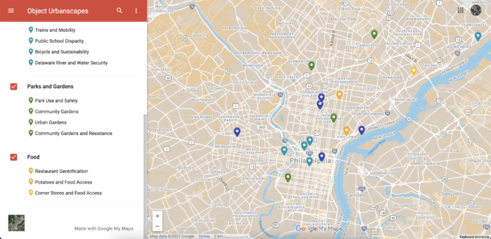
Lessons from student projects:
Lesson 1. Urban injustices are not only characterized by what cannot be seen or the adequate resources that are missing from a given space. They also materialize as communities are exposed or gain access to other resources that might be undesirable.
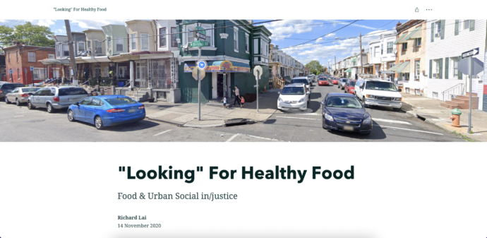
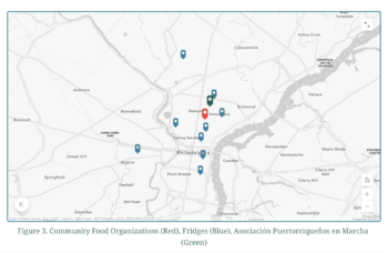
Lesson 2. Claims over justice involve making the absence of desirable resources visible through a local politics of dissent.
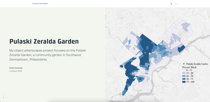
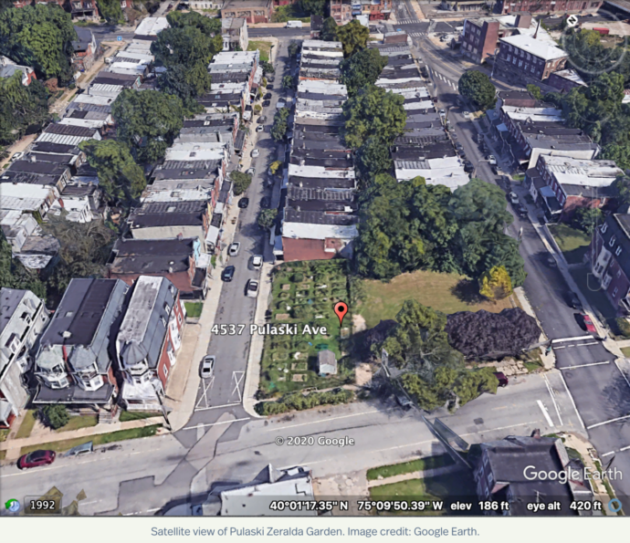
Lesson 3. Subversion always involves reclaiming visuality, but its maintenance requires a certain degree of invisibility.
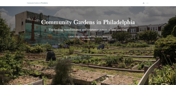
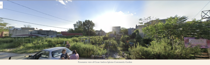
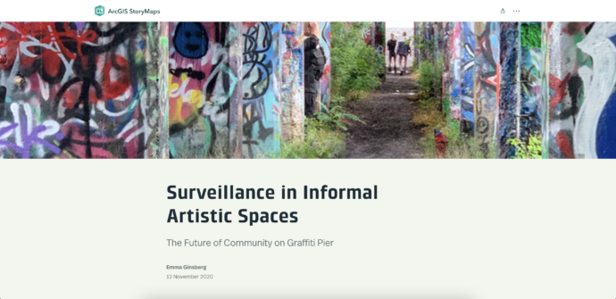
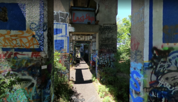
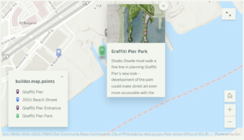
Lesson 4. Subversion is at its most successful when communities can become visible on their own terms.
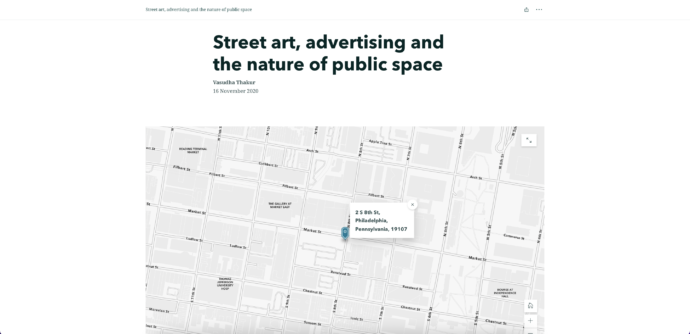
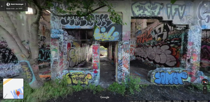
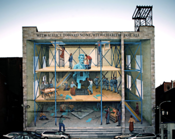
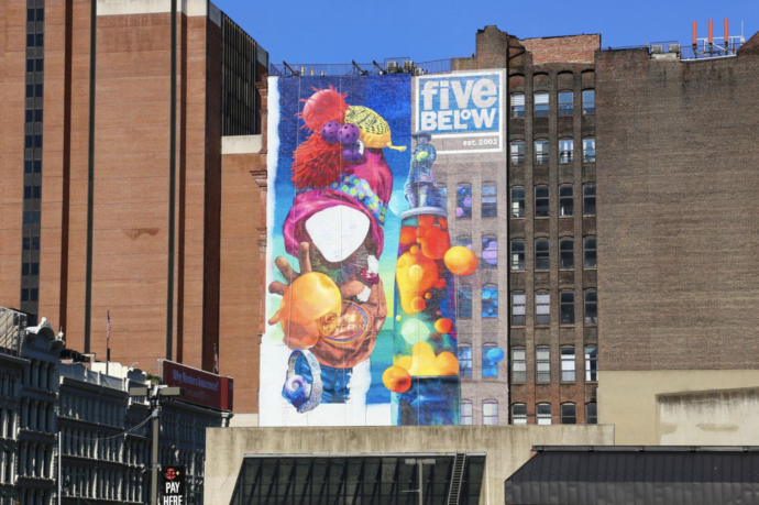
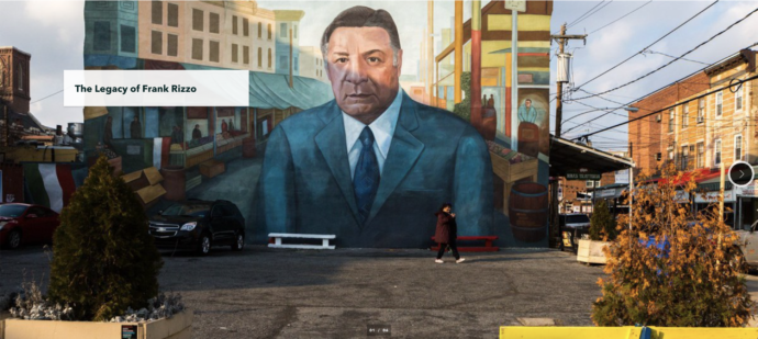
Thakur also explains how commissioned art is used to paper over existent injustices and social inequalities, as well as the use of art (in this case of graffiti) to counter such erasures. Here, a mural of Frank Rizzo (bottom) – who served as a police commissioner and mayor in Philadelphia – was defaced several times for his purported racism, homophobia, bigotry, and police brutality. Here, a close visual inspection of the same object across time reveals how a city wall becomes the battlefield between the city government and disadvantaged groups in the city. The battle is visible, but the actors are not always so. Project link here.
Findings from student projects presented above reveal that the visual and its entangled power dynamics are a cornerstone in identifying state-community relations and their spatial manifestations. Looking at spaces ranging from food deserts and community gardens to sites of graffiti and murals, the projects that come together to structure this essay provide lessons on how communities are made invisible within state-led urban development imaginaries. These lessons also make visible the situated ways in which communities reclaim and produce urban areas as they carefully negotiate the spectrum of invisibility and hypervisibility; whether it takes the form of alternative visualities that counter hegemonic visions, or strategically deploying invisibility as a subversive mechanism. Moreover, the projects demonstrate that these seemingly polar extremes are often co-constituted. Together, student visual stories demonstrate how, when combined with critical analysis, digital visual methods can elicit such relational dynamics and lay bare the need for and avenues to achieve the right to the city as a grounded political project.
References
References
Alves, Jaime A., 2014. From necropolis to blackpolis: Necropolitical governance and black spatial praxis in São Paulo, Brazil. Antipode, 46(2), pp.323-339.
Balzarini, John E., and Anne B. Shlay. 2016. ‘Gentrification and the Right to the City: Community Conflict and Casinos.’ Journal of Urban Affairs 38 (4): 503–17. https://doi.org/10.1111/juaf.12226.
Doshi, Sapana, 2019. Greening displacements, displacing green: Environmental subjectivity, slum clearance, and the embodied political ecologies of dispossession in Mumbai. International Journal of Urban and Regional Research, 43(1), pp.112-132.
Harvey, David. 2008. ‘The right to the city.’ The City Reader, 6, 23–40.
Ramírez, Margaret M., 2020. ‘City as borderland: Gentrification and the policing of Black and Latinx geographies in Oakland.’ Environment and Planning D: Society and Space, 38(1), pp.147-166.
Wherry, Frederick F. 2011. The Philadelphia Barrio: The Arts, Branding, and Neighborhood Transformation. University of Chicago Press.